September 17th, 2016
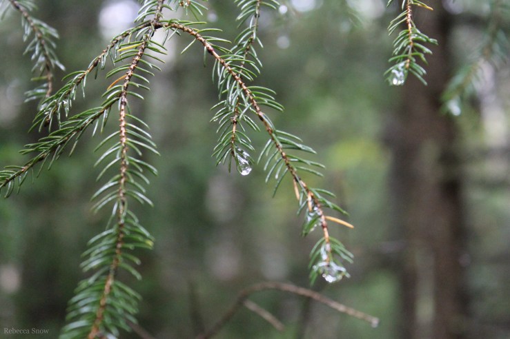
We woke up around 6:45am. It was a windy night, but our tent’s rain cover protected us and I was only a little chilly at times. Greg got up to get the bear bag and we drank the “Carnation Instant Breakfast” mixed with powdered milk and water in our new little composite wood cups. The sun was starting to come out as we packed up our bags and our tent. It hadn’t rained but our tent cover had collected some condensation overnight and we just rolled it up wet.

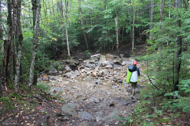
Our hike started out continuing the descent down Mt. Lafayette and towards Mt. Garfield. It took a long time. Along the way, we found Garfield pond and filled up on water. It was pretty mucky around the edge of the pond so it was a great example of the ease of using our new gravity filter. Greg was able to scoop the water in the “dirty” bag and just let gravity do the rest. We’ve used a manual pump filter before and it would have been a balancing act to try and pump the water without losing our footing and sinking into the mud.


Once we hiked all the way down, we started the ascent up Mt. Garfield. Our ascent to Mt. Flume the day before had felt much longer, so we were at the top before we knew it! A couple with a super cute black and white boxer was there at the top and we chatted with them for a bit (and I got to pet the boxer! My heart…) I’d never seen a boxer with coloring that dark before and Greg even said he thought it was cute and we could get one if it looked like that! I need that in writing!!
It was so windy at the peak so we hid behind the large rocks to have some trail mix.
The descent of Mt. Garfield felt like it would NEVER END. My toes were badly hurting so Greg gave me his ski poles to use instead of my broom handle. Having the two poles to lean on took the edge off the pain, but the constant pounding of my toes against the front of my boots made every step hurt. I was trying to put more weight on the poles to ease off of my feet, which started to make my shoulders sore. Just spreading around the pain. 🙂
We finally got to the next set of trail signs, but they weren’t very clear. Our next stop was South Twin Mountain, which was beyond Galehead hut. There were two signs, and neither said South Twin Mountain but they both said something about Galehead. The map we had was not the best so we tried turning on my phone to see if we had service and could look up a better map. I couldn’t access the internet so we decided we’d try the trail to the right since that seemed like the correct direction. It would have been a major bummer for our poor toes if we went the wrong direction. Luckily, two women walked down the path we were about to choose so we asked them if they had come from South Twin Mountain. They had! What’s more, they also had a much better map! One of the women suggested I take a picture of the map so we could reference it, which was a great idea. What a blessing it was to run into them in our time of need.
After passing Galehead hut, the ascent to South Twin Mountain was 4,902 feet over 0.8 miles. I’m not an expert on elevation, but it was really steep! The terrain was all rocks, just like the rest of the trail, so it was pretty much like a StairMaster made of boulders. It was tough, but the ascents are easier for me because I can dig deep and just take it one step at a time. Descents are more difficult because of the pain in my toes and ankles. Maybe I need new boots… Anyway, Greg and I both mentioned having a spiritual experience while we climbed South Twin. I was talking with God almost the whole way up, thanking Him for the opportunities to challenge myself and demonstrate the strength He knows I possess. As arduous as the ascent was, I was so deeply happy to be there on a beautiful fall day, healthy, and hiking with the love of my life.
And as is always the case eventually, we made it to the top!

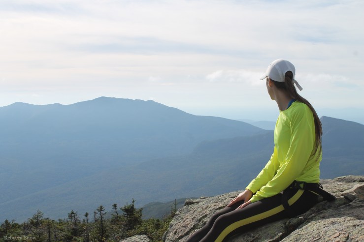

The peak of South Twin was chilly and windy so I immediately put my long sleeve on. We both enjoyed a brownie bar from “Nature’s Bakery”. Those things are so good (and a well-deserved reward)!
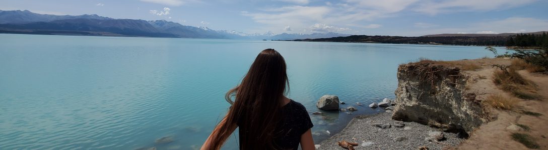
The women who shared their map with us earlier had told us that it was a relatively flat hike from the top of South Twin to Guyot campsite where we planned to stay the night. That was welcome news! It was definitely an easier section of the hike, but it was still a rocky decline so it took us a while on our tired feet. We thought we were almost there (about a mile, mile and a half away… lies) but suddenly the trail pops out and we are on another exposed ridge! You can see in the picture below there is a trail marker to let you know, yes, this is the trail! Even though it looks like a washed out pile of river rocks. It was nearing sunset and we were grateful to be out on the exposed mountainside to witness more amazing views.


We finally got to a sign that said Guyot (we pronounced it Guy-aught, but one guy said Ghee-yo so who knows) campsite: 0.25 miles off the trail. My whole body was exhausted, but I managed to stumble down the quarter mile to the campsite. (Watch the video to see how slow I was going, haha!) The campsite was great! A woman named Rachel greeted us as she was the caretaker of Guyot. There was a water spring, a compost privy, a designated food prep area, bear boxes (thank goodness we didn’t have to deal with another flimsy branch!), and platforms to pitch our tent. It cost $10 a person for one night, and luckily I had read that the campsites might not be free so we brought cash. We set up our tent on the platform and rested for a quick second.
After setting up our tent, we gathered up our food and water filter to get water at the spring and make dinner. The spring was flowing pretty steadily so it didn’t take long to fill our bottles.

We sat down on some rocks in the food prep area and it was cute that it almost forced you to interact with the other hikers due to the fact that everyone was gathered in one area. We chatted with a group of three girls who had hiked to this spot from the same parking lot as us, except they had gone counter-clockwise and were planning to back the same way they came the next day. That meant that all of us had the same itinerary for tomorrow: Mt. Bond and Bondcliff. Since they had just come from those peaks that day, they had some insight about the terrain. All of us were concerned about the forecast. It was predicted to rain starting around 2am and thunderstorms were supposed to start around 10. Hiking a ridge during a thunderstorm was not something we wanted to do, so we all decided that our best bet was to get up really early, leave camp by 6, and hike over and down the peaks before 10am. It was definitely doable.
We prepared the “Backpacker’s Pantry” pad thai for dinner and both agreed we would buy it again! It was dark by the time we finished eating and cleaned up our pot, but it wasn’t as cold and windy as it was the day before. The tree cover protected us.
Day 2 mile count: about 9.45 miles
- Our campsite to Mt. Garfield (4,500′) = about 2.9
- Mt. Garfield to South Twin Mountain (4,902′) = 3.7
- South Twin Mountain to Guyot campsite = 2.85
September 18th, 2016
I had set my watch alarm for 5:30 am, but I woke up at 5:52 having never heard one beep. Oh, well.
I had heard it start to rain around midnight and it was still dark and lightly raining when we got up. We got our food out of the bear box, ate quickly, and packed up our gear in the rain. We hiked up the 0.25 miles back to the main trail and by 7:30 we started our journey to Mt. Bond.

It really wasn’t raining anymore, more of a mist, so we ditched our rain jackets. The 0.7 mile to Mt. Bond was a very easy ascent and we took some quick pictures and video at the top since it was windy and cloudy and we were racing against the clock!


We scurried over to Bondcliff. There really isn’t much of an elevation change between these two peaks so we were able to make good time. It was another exposed ridge and parts of it were pretty windy! Even though we weren’t able to see the views, it was cool to be shrouded in the mist. The rock pile trail markers came in handy during this section because we couldn’t see very far ahead of us through the fog. We would continue walking in the direction of the rock pile in the distance and if we got off track, we oriented ourselves by finding another rock pile. We decided we’d have to come back on a clear day and check out the views from this side of the loop.


We took a few pictures and headed off the exposed ridge and down below the tree line to safety by 9am. It never did thunderstorm! But we’d rather be safe than struck by lightning. 🙂

We knew that the rest of the trail back to the parking lot would be a gradual descent. It was, but it was still pretty rocky so it was slow going. Whenever it was flat or without rocks we would hustle and make up some time.

We made it to the start of the Lincoln Woods Trail and had to hike 1.2 miles to get to the first 1.4 mile section of the trail. It was flat and straight, just like day 1, but it NEVER ENDED. Actually, it did end, since I’m here typing this post, but it felt endless at the time. I could see so far ahead with no end in sight. It was almost like an illusion.

My toes hurt so much that I was subconsciously adjusting my stride, which gave me a sharp pain in my shin. We rested a few times and it helped to stretch out our legs, but we just wanted to sprint to the end! I was basically just shuffling along, but we started seeing people who clearly had just hiked in a short ways from the parking lot so we knew we must be getting close.
Finally we saw the river and the bridge we crossed when we started the trail!

As we walked up the steps to the parking lot, I could see a whole swarm of senior citizens getting off a bus and walking down towards the bridge. I just had one focus in mind – get to the car so my feet can rest! We finished around 2:15pm. It was sunny and 70 degrees. We drank some water, ate some snacks, and headed home!
We came home to our kitties who we missed (one day they might be brave enough to hike with us…)! We showered, ordered a pizza, cleaned up our gear, and relaxed while we watched “Star Wars: The Force Awakens”. We started falling asleep around 9pm so we had to finish the movie the next day – we were on backpacking time!
Day 3 mile count: 10.95 miles
- Guyot campsite to Mt. Bond (4,698′) = .95
- Mt. Bond to Bondcliff (4,265′) = 1.2
- Bondcliff Trail = 6.2
- Lincoln Woods Trail = 2.6
Overall, it was an awesome hike and we had a great time together. It was an incredible endurance challenge and I’m really glad we did it! I know we will cherish these memories for years to come and I’m thankful we were able to document it with pictures and video. I hope you enjoyed our adventure!
3 day mileage total = 32.3 miles and 9 peaks
Thanks for reading!
– Rebecca
P.S. We vlogged our hike as well! Click here to watch the video of day 1!
Click here to watch the video of days 2 and 3!
If you want to read about day 1 of our backpacking trip, click here.
If you want to read about our preparations for our backpacking trip, click here.
